Herp Atlas Maps


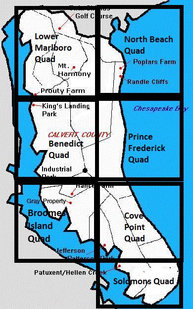
For detailed maps of the 39 Calvert County Blocks used in this survey, click on the links below.

The maps are pdf files.

Benedict NW

Benedict NE

Benedict CE

Benedict CW

Benedict SW

Benedict SE

Broomes Island NW

Broomes Island NE

Broomes Island CW

Broomes Island CE

Broomes Island SW

Broomes Island SE

Cove Point NW

Cove Point CW

Cove Point CE

Cove Point SW

Cove Point SE


Lower Marlboro NW

Lower Marlboro NE

Lower Marlboro CW

Lower Marlboro CE

Lower Marlboro SW

Lower Marlboro SE

North Beach NW

North Beach NE

North Beach CW

North Beach CE

North Beach SW

North Beach SE

Prince Frederick NW

Prince Frederick NE

Prince Frederick CW

Prince Frederick CE

Prince Frederick SW

Prince Frederick SE

Solomons NW

Solomons NE

Solomons CW

Solomons CE

Data for the County Blocks